Willa Franke · 5 September 2026
Revealing Regional Secrets: Poland's Aromatic Flora Mapping Project Highlights Distribution Patterns
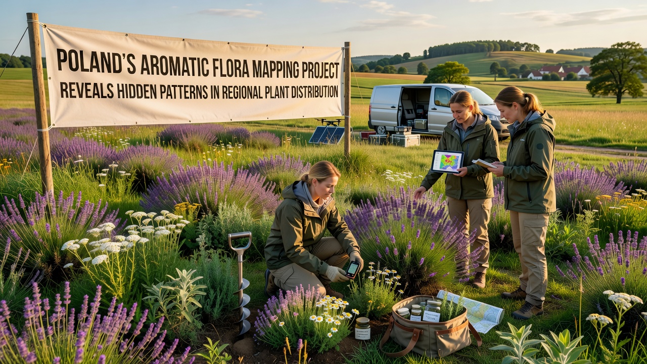
Poland's Aromatic Flora Mapping Project has documented the distribution of aromatic plant species across multiple regions and the effort continues to identify patterns that connect climate zones with soil types and historical land use. Launched several years ago by a consortium of botanical research institutes, the initiative combines field sampling with satellite imagery analysis to build detailed maps of species such as thyme, oregano, and various mint relatives that thrive in the country's diverse landscapes.
Data collected through systematic surveys in the Carpathian foothills, the Masurian lakes district, and the central plains shows that aromatic flora clusters more densely near limestone outcrops while avoiding areas with heavy clay soils. Researchers at the Polish Academy of Sciences report that elevation gradients influence chemical compound profiles in the plants, with higher altitudes correlating to increased essential oil concentrations in leaves and flowers.
Project Scope and Data Collection Methods
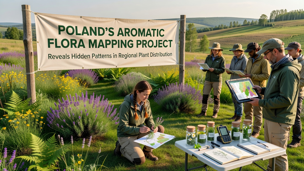
Field teams visit designated plots each growing season to record species presence, density, and associated pollinators, while remote sensing teams process multispectral images to estimate biomass and flowering periods. The combined dataset now covers over 12,000 square kilometers and includes more than 180 aromatic taxa, according to project summaries released in early 2025. Portable gas chromatographs allow on-site analysis of volatile compounds, which speeds up identification of chemotypes that vary by microclimate.
Geographic information systems integrate these records with historical agricultural maps dating back to the 1950s, revealing that abandoned meadows often support richer aromatic communities than actively farmed fields. Soil pH measurements taken alongside plant samples indicate that neutral to slightly alkaline conditions favor the majority of targeted species, whereas acidic zones show reduced diversity.
Key Distribution Patterns Identified
Analysis of the growing database points to several consistent trends. Southeastern regions exhibit higher concentrations of Mediterranean-origin aromatics that appear to have expanded northward over recent decades, while northern provinces host more boreal species adapted to cooler, moist conditions. A notable corridor of mixed populations runs along the Vistula river valley, where seasonal flooding deposits nutrient-rich sediments that support both groups.
September 2026 marks the scheduled release of an updated interactive map layer that incorporates three additional years of monitoring data, and preliminary models suggest continued northward shifts for several thermophilic species. These projections align with temperature records maintained by the Institute of Meteorology and Water Management, which document a 1.2-degree Celsius rise in average annual temperatures across Poland since 1990.
Observers note that pollinator interactions also follow geographic lines, with solitary bees dominating in drier southeastern sites and hoverflies more prevalent in the lake districts. The project partners with the European Environment Agency to standardize sampling protocols, which enables comparison with similar efforts in neighboring countries such as Slovakia and Lithuania.
Applications and Future Monitoring
Findings from the mapping work feed directly into conservation planning and agricultural extension services. Regional authorities use the distribution data to identify priority areas for habitat restoration, while herb growers consult the maps when selecting cultivation sites that match natural occurrence patterns. The open-access database allows university researchers to test hypotheses about climate-driven range changes without repeating basic field surveys.
Additional sensor networks installed in 2024 now track soil moisture and light intensity at 150 permanent plots, generating continuous streams that refine predictive models. These instruments transmit readings every six hours, and the first full season of data will become available for analysis after the 2026 growing period ends.
Conclusion
The Aromatic Flora Mapping Project continues to expand its coverage while refining the resolution of existing maps through repeated visits and technological upgrades. Patterns documented so far link plant distribution to elevation, soil chemistry, and historical land management, and the September 2026 data release is expected to clarify trends related to recent temperature increases. Ongoing collaboration with European monitoring networks ensures that Polish findings contribute to broader continental assessments of aromatic species responses to environmental change.